
Mountain trail-map prints
Stowe
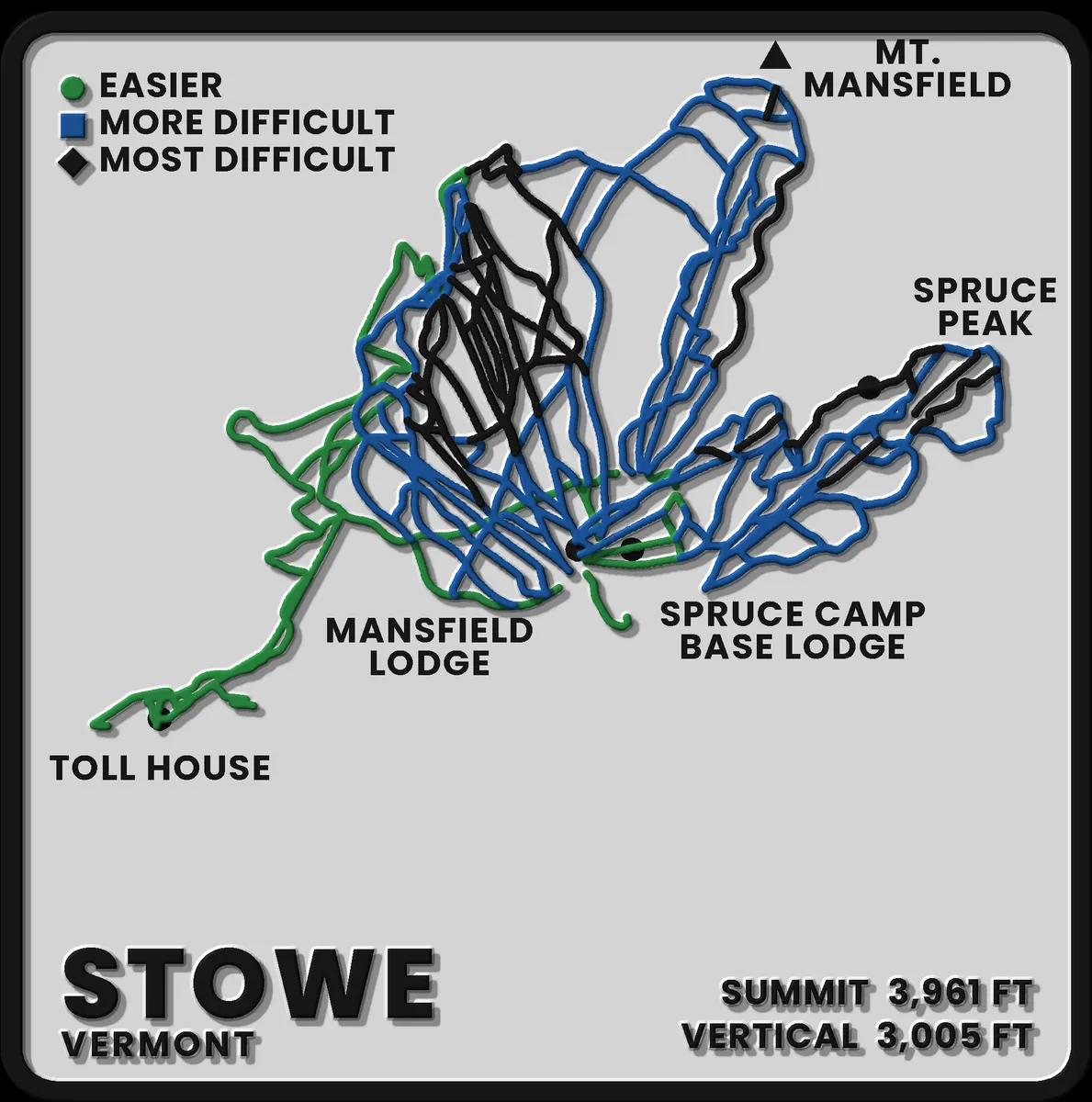
A trail-map plaque from the mountain line: every run cut into the face and filled by colour, drawn from OpenStreetMap piste data and USGS elevation rather than a resort marketing map. The picture is a render of this plate's own geometry.
190 x 220 mm, wall or shelf
Mt. Mansfield and Spruce Peak side by side, with Toll House running out to the left, in the arrangement the mountain actually has.
$44.00 Free US shipping
Printed from the same geometry the render shows. Colour and label placement can shift slightly between print runs.
Made to order and shipped from Illinois. The refunds and FAQ pages cover returns, reprints and making time.